2017
ST5200 : Hedgelaying on the road to Toller Whelme
taken 7 years ago, near to Toller Whelme, Dorset, England
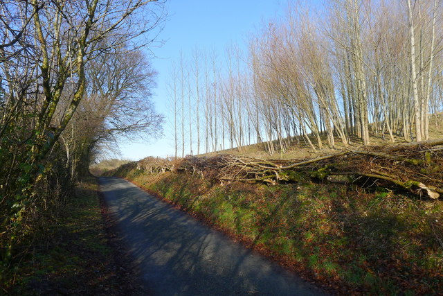
Hedgelaying on the road to Toller Whelme
 Map © Crown Copyright")
TIP: Click the map for more Large scale mapping
- Grid Square
- ST5200, 21 images (more nearby 🔍)
- Photographer
- Tim Heaton (more nearby)
- Date Taken
- Wednesday, 25 January, 2017 (more nearby)
- Submitted
- Thursday, 23 February, 2017
- Subject Location
-
OSGB36:
 ST 5227 0083 [10m precision]
WGS84: 50:48.3029N 2:40.7235W - Camera Location
-
OSGB36: ST 5227 0079
- View Direction
- NORTH (about 0 degrees)