2017
NO2406 : East Lomond and Maiden Castle
taken 7 years ago, near to Glasslie, Fife, Scotland
This is 1 of 16 images, with title starting with East Lomond in this square
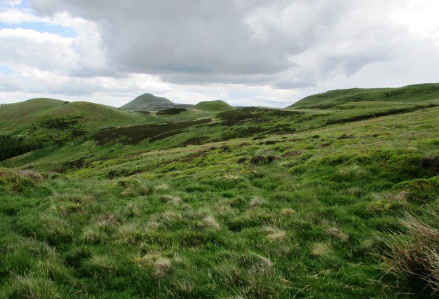
East Lomond and Maiden Castle
Looking back from the path to Craigengaw NO2106 : Path junction on Lomond Hills we see East Lomond and to its right the green mound of Maiden Castle, an iron age fort Link .
.
See Lomond Hills Regional Park article Link
See Lomond Hills Regional Park article Link
 Map © Crown Copyright")
TIP: Click the map for more Large scale mapping
- Grid Square
- NO2406, 83 images (more nearby 🔍)
- Photographer
- Bill Kasman (more nearby)
- Date Taken
- Sunday, 4 June, 2017 (more nearby)
- Submitted
- Saturday, 10 June, 2017
- Subject Location
-
OSGB36:
 NO 243 061 [100m precision]
WGS84: 56:14.5267N 3:13.2931W - Camera Location
-
OSGB36: NO 214 069
- View Direction
- East-southeast (about 112 degrees)