2009
NT3931 : Gruntly Burn Valley
taken 15 years ago, near to Yarrowford, Scottish Borders, Scotland
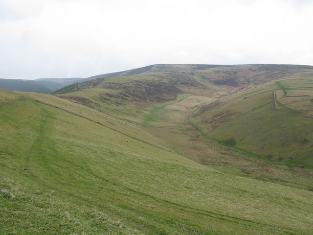
Gruntly Burn Valley
Looking up to the head of the valley from the Minchmoor Road. The Minchmoor Road itself runs down the ridge to the left of the valley.
 Map © Crown Copyright")
TIP: Click the map for more Large scale mapping
- Grid Square
- NT3931, 23 images (more nearby 🔍)
- Photographer
- G Laird (more nearby)
- Date Taken
- Sunday, 26 April, 2009 (more nearby)
- Submitted
- Monday, 27 April, 2009
- Subject Location
-
OSGB36:
 NT 394 317 [100m precision]
WGS84: 55:34.5431N 2:57.7048W - Camera Location
-
OSGB36: NT 393 310
- View Direction
- NORTH (about 0 degrees)