2009
TQ4200 : Steps leading to Undercliff Walk
taken 15 years ago, near to Peacehaven, East Sussex, England
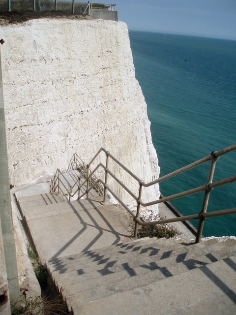
Steps leading to Undercliff Walk
The undercliff runs along the coast at Peacehaven starting near the Meridian Point TQ4100 : Slope to undercliff walk
 Map © Crown Copyright")
TIP: Click the map for more Large scale mapping
- Grid Square
- TQ4200, 83 images (more nearby 🔍)
- Photographer
- Paul Gillett (more nearby)
- Date Taken
- Sunday, 9 August, 2009 (more nearby)
- Submitted
- Sunday, 9 August, 2009
- Subject Location
-
OSGB36:
 TQ 423 003 [100m precision]
WGS84: 50:47.1201N 0:1.1147E - Camera Location
-
OSGB36: TQ 423 004
- View Direction
- Southeast (about 135 degrees)