2011
NS2071 : Building site at Inverkip
taken 13 years ago, near to Langhouse, Inverclyde, Scotland
This is 1 of 18 images, with title Building site at Inverkip in this square
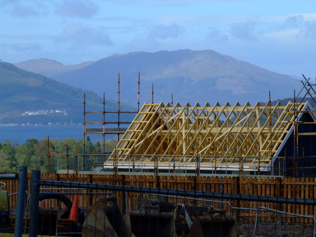
Building site at Inverkip
The houses on this former greenbelt land will have panoramic views of the Firth of Clyde. Strone Hill can be seen in the distance.
 Map © Crown Copyright")
TIP: Click the map for more Large scale mapping
- Grid Square
- NS2071, 691 images (more nearby 🔍)
- Photographer
- Thomas Nugent (more nearby)
- Date Taken
- Friday, 7 October, 2011 (more nearby)
- Submitted
- Tuesday, 18 October, 2011
- Subject Location
-
OSGB36:
 NS 206 715 [100m precision]
WGS84: 55:54.2235N 4:52.2294W - Camera Location
-
OSGB36: NS 206 715
- View Direction
- North-northwest (about 337 degrees)