2012
SN7886 : Walking the path on the Plynlimon ridge
taken 12 years ago, near to Plynlimon/Pumlumon Fawr [hill or Mountain], Ceredigion, Great Britain
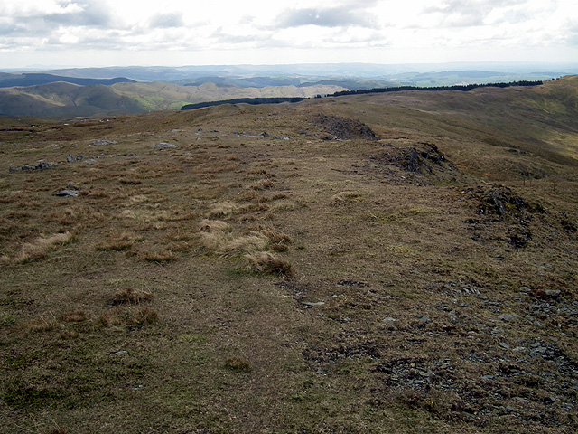
Walking the path on the Plynlimon ridge
The upper extent of the forestry on Dyll Faen is visible.
 Map © Crown Copyright")
TIP: Click the map for more Large scale mapping
- Grid Square
- SN7886, 91 images (more nearby 🔍)
- Photographer
- John Lucas (more nearby)
- Date Taken
- Saturday, 12 May, 2012 (more nearby)
- Submitted
- Sunday, 13 May, 2012
- Subject Location
-
OSGB36:
 SN 7889 8631 [10m precision]
WGS84: 52:27.6758N 3:47.0388W - Camera Location
-
OSGB36: SN 7889 8643
- View Direction
- SOUTH (about 180 degrees)