2012
NU2801 : Coastal path, Hauxley
taken 12 years ago, near to High Hauxley, Northumberland, England
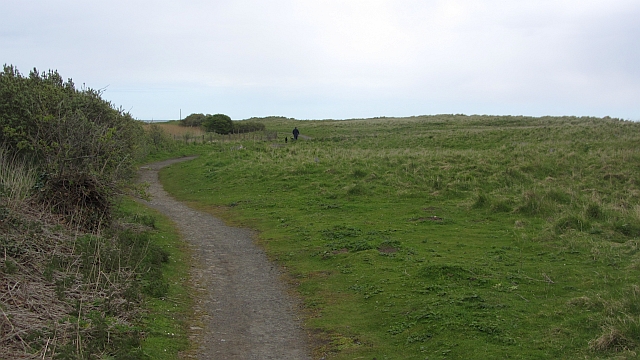
Coastal path, Hauxley
One of the periodic rougher bits of route 1 of the National Cycle Network.
 Map © Crown Copyright")
TIP: Click the map for more Large scale mapping
- Grid Square
- NU2801, 57 images (more nearby 🔍)
- Photographer
- Richard Webb (more nearby)
- Date Taken
- Wednesday, 16 May, 2012 (more nearby)
- Submitted
- Tuesday, 22 May, 2012
- Subject Location
-
OSGB36:
 NU 2844 0193 [10m precision]
WGS84: 55:18.6385N 1:33.2098W - Camera Location
-
OSGB36: NU 2838 0189
- View Direction
- Northeast (about 45 degrees)