2013
SD7529 : Accrington United Reformed Church
taken 11 years ago, near to Accrington, Lancashire, England
This is 1 of 4 images, with title starting with Accrington in this square
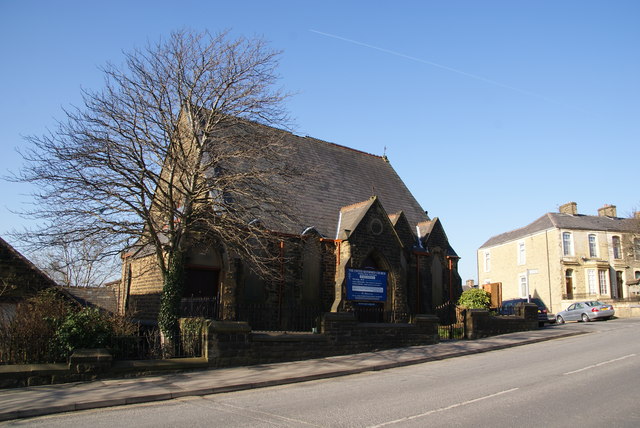
Accrington United Reformed Church
Slightly out of the town centre on Whalley Road.
 Map © Crown Copyright")
TIP: Click the map for more Large scale mapping
- Grid Square
- SD7529, 96 images (more nearby 🔍)
- Photographer
- Bill Boaden (more nearby)
- Date Taken
- Saturday, 2 March, 2013 (more nearby)
- Submitted
- Monday, 11 March, 2013
- Subject Location
-
OSGB36:
 SD 7586 2909 [10m precision]
WGS84: 53:45.4563N 2:22.0570W - Camera Location
-
OSGB36: SD 7589 2909
- View Direction
- WEST (about 270 degrees)