2013
TQ4200 : Cliff, Peacehaven Heights
taken 11 years ago, near to Peacehaven, East Sussex, England
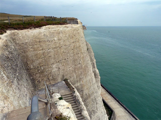
Cliff, Peacehaven Heights
The cliffs have been profiled to reduce the risk of falling chalk for those using the walk below. Here are the last access steps going east, the walk itself comes to an end about 100 m further along.
 Map © Crown Copyright")
TIP: Click the map for more Large scale mapping
- Grid Square
- TQ4200, 83 images (more nearby 🔍)
- Photographer
- Robin Webster (more nearby)
- Date Taken
- Wednesday, 26 June, 2013 (more nearby)
- Submitted
- Thursday, 27 June, 2013
- Subject Location
-
OSGB36:
 TQ 4246 0037 [10m precision]
WGS84: 50:47.1245N 0:1.1744E - Camera Location
-
OSGB36: TQ 42437 00379
- View Direction
- EAST (about 90 degrees)