2006

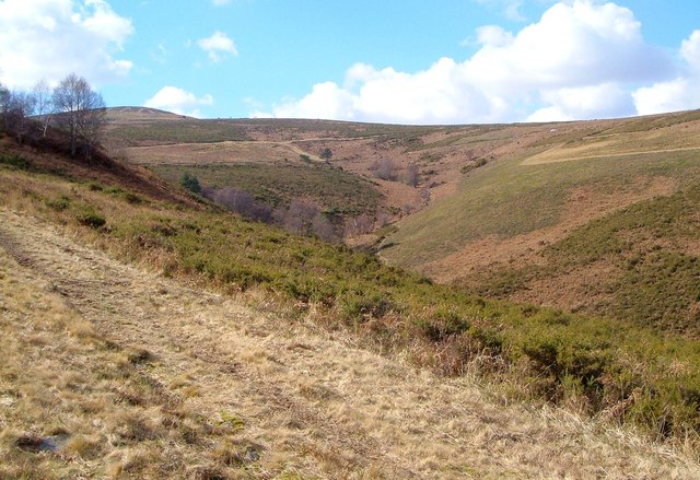
SX7779 : Valley, Trendlebere Down

taken 18 years ago, near to Lustleigh, Devon, England

Valley, Trendlebere Down
A view up the valley shown in SX7779 : Dartmoor: Trendlebere Down.

Creative Commons Licence [Some Rights Reserved]   © Copyright Derek Harper and licensed for reuse under this Creative Commons Licence.
Geographical Context: Uplands Moorland National Park: Dartmoor Plant: Gorse other tags: Moorland Valley Click a tag, to view other nearby images.
1:50,000 Modern Day Landranger(TM) Map © Crown Copyright
+
+
1:50,000 Modern Day Landranger(TM) Map © Crown Copyright
TIP: Click the map for more Large scale mapping
Grid Square
SX7779, 40 images   (more nearby 🔍)
Photographer
Derek Harper   (more nearby)
Date Taken
Saturday, 4 March, 2006   (more nearby)
Submitted
Saturday, 2 November, 2013
Subject Location
OSGB36: geotagged! SX 775 793 [100m precision]
WGS84: 50:36.0316N 3:43.9386W
Camera Location
OSGB36: geotagged! SX 778 793
View Direction
WEST (about 270 degrees)
Clickable map
+
NW N NE
W Go E
SW S SE
Image classification(about): Geograph
This page has been viewed about 26 times
You are not logged in login | register