2014
TQ4463 : Church Field Plantation
taken 10 years ago, near to Farnborough, Bromley, England
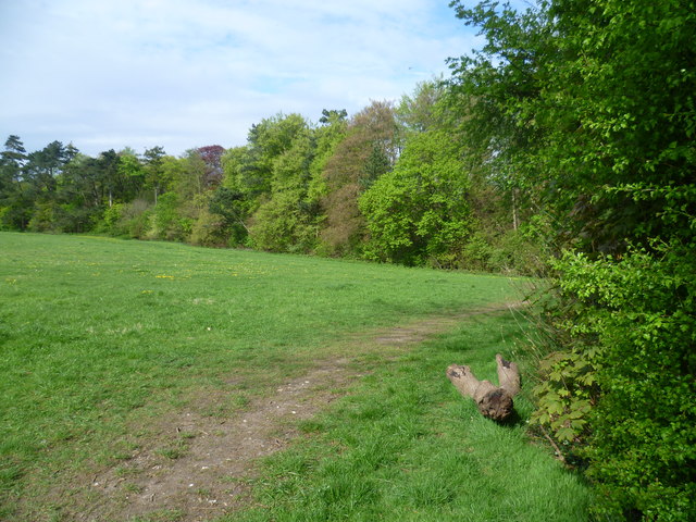
Church Field Plantation
The London LOOP passes along the edge of Church Field Plantation ahead on its way from High Elms to Farnborough and Darrick Wood. The church referred to is St Giles the Abbot Church which is right on the edge of open countryside - see Link
 Map © Crown Copyright")
TIP: Click the map for more Large scale mapping
- Grid Square
- TQ4463, 81 images (more nearby 🔍)
- Photographer
- Marathon (more nearby)
- Date Taken
- Wednesday, 23 April, 2014 (more nearby)
- Submitted
- Friday, 25 April, 2014
- Subject Location
-
OSGB36:
 TQ 4449 6374 [10m precision]
WGS84: 51:21.2621N 0:4.4191E - Camera Location
-
OSGB36: TQ 4447 6369
- View Direction
- North-northeast (about 22 degrees)