2014
SD7068 : Butt Hill and Ingleborough
taken 10 years ago, near to Newby, North Yorkshire, England
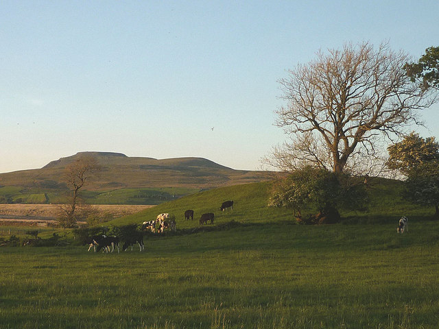
Butt Hill and Ingleborough
Butt Hill is a small, grassy hill with a scatter of mature trees which looks like it ought to have been a mediaeval motte earthwork. The map lettering does not suggest this, however and it may simply be a natural feature such as a drumlin. Beyond, is Ingleborough (724m).
 Map © Crown Copyright")
TIP: Click the map for more Large scale mapping
- Grid Square
- SD7068, 11 images (more nearby 🔍)
- Photographer
- Karl and Ali (more nearby)
- Date Taken
- Wednesday, 21 May, 2014 (more nearby)
- Submitted
- Thursday, 22 May, 2014
- Subject Location
-
OSGB36:
 SD 7062 6885 [10m precision]
WGS84: 54:6.8806N 2:27.0558W - Camera Location
-
OSGB36: SD 7056 6876
- View Direction
- North-northeast (about 22 degrees)