2014
SJ9108 : Staffordshire and Worcestershire Canal at Four Ashes, Staffordshire
taken 10 years ago, near to Four Ashes, Staffordshire, England
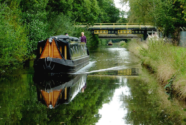
Staffordshire and Worcestershire Canal at Four Ashes, Staffordshire
Three bridges nearby are linked to the Schenectady (SI Group) chemical works.
The canal was opened in 1772, engineered by James Brindley. It joins the River Severn at Stourport to the Trent and Mersey Canal at Great Haywood Junction in Staffordshire. There are 43 locks (45 if you don't fancy the deep wide locks at Stourport) and the canal is 46 miles in length.
The canal was opened in 1772, engineered by James Brindley. It joins the River Severn at Stourport to the Trent and Mersey Canal at Great Haywood Junction in Staffordshire. There are 43 locks (45 if you don't fancy the deep wide locks at Stourport) and the canal is 46 miles in length.
 Map © Crown Copyright")
TIP: Click the map for more Large scale mapping
- Grid Square
- SJ9108, 41 images (more nearby 🔍)
- Photographer
- Roger D Kidd (more nearby)
- Date Taken
- Friday, 12 September, 2014 (more nearby)
- Submitted
- Thursday, 25 September, 2014
- Subject Location
-
OSGB36:
 SJ 9178 0899 [10m precision]
WGS84: 52:40.7128N 2:7.3810W - Camera Location
-
OSGB36: SJ 9174 0904
- View Direction
- Southeast (about 135 degrees)