2005
TQ9144 : Farmland near The Pinnock
taken 19 years ago, near to Pluckley Thorne, Kent, England
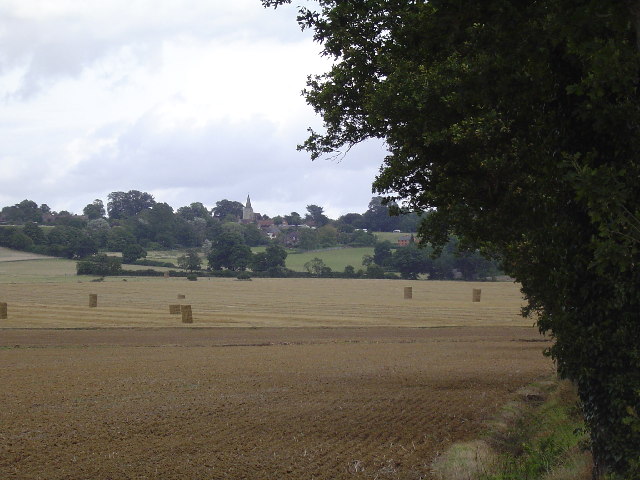
Farmland near The Pinnock
Showing Pluckley village in the background
 Map © Crown Copyright")
TIP: Click the map for more Large scale mapping
- Grid Square
- TQ9144, 62 images (more nearby 🔍)
- Photographer
- John Brown (more nearby)
- Date Taken
- Friday, 26 August, 2005 (more nearby)
- Submitted
- Sunday, 28 August, 2005
- Subject Location
-
OSGB36:
 TQ 911 448 [100m precision]
WGS84: 51:10.2305N 0:43.9316E