2015
SK1213 : Black Slough Farm near Curborough
taken 9 years ago, near to Elmhurst, Staffordshire, England
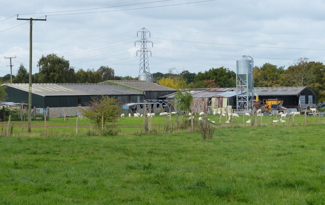
Black Slough Farm near Curborough
 Map © Crown Copyright")
TIP: Click the map for more Large scale mapping
- Grid Square
- SK1213, 134 images (more nearby 🔍)
- Photographer
- Mat Fascione (more nearby)
- Date Taken
- Saturday, 10 October, 2015 (more nearby)
- Submitted
- Saturday, 17 October, 2015
- Subject Location
-
OSGB36:
 SK 121 133 [100m precision]
WGS84: 52:43.0765N 1:49.3207W - Camera Location
-
OSGB36: SK 122 132
- View Direction
- Northwest (about 315 degrees)