2016
TQ9446 : Stour Valley Walk at Chart
taken 8 years ago, near to Little Chart, Kent, England
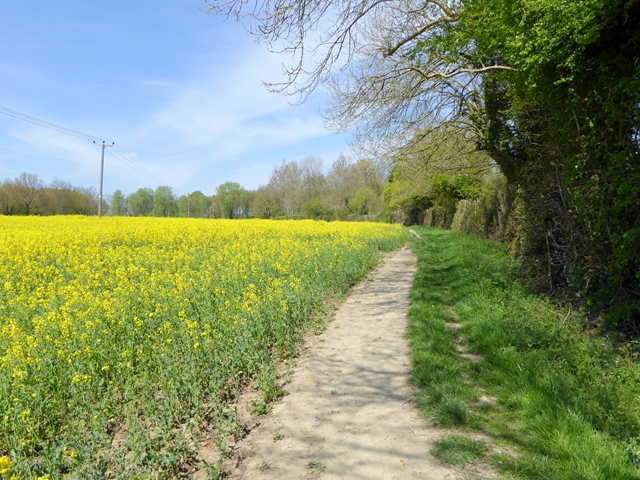
Stour Valley Walk at Chart
The Stour Valley Walk is a 93 km walk from Lenham (at the foot of the North Downs) to Richborough on the coast. Do not confuse the Stour Valley Walk (Kent) with the Stour Valley Way (Dorset) or the Stour Valley Path (Essex).
 Map © Crown Copyright")
TIP: Click the map for more Large scale mapping
- Grid Square
- TQ9446, 44 images (more nearby 🔍)
- Photographer
- Oliver Dixon (more nearby)
- Date Taken
- Sunday, 8 May, 2016 (more nearby)
- Submitted
- Wednesday, 11 May, 2016
- Subject Location
-
OSGB36:
 TQ 9420 4607 [10m precision]
WGS84: 51:10.8522N 0:46.6300E - Camera Location
-
OSGB36: TQ 94222 46032
- View Direction
- North-northwest (about 337 degrees)