2016
NT6281 : Ravensheugh Sands
taken 7 years ago, near to Scoughall, East Lothian, Scotland
This is 1 of 28 images, with title Ravensheugh Sands in this square
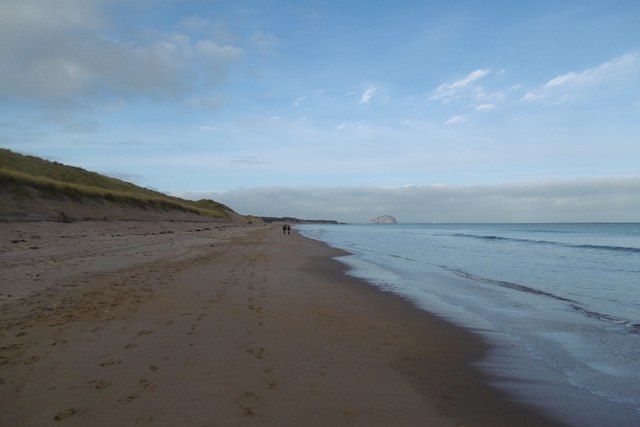
Ravensheugh Sands
Taken shortly before a neap high water. The dunes have been recently undercut during a northeasterly gale.
 Map © Crown Copyright")
TIP: Click the map for more Large scale mapping
- Grid Square
- NT6281, 106 images (more nearby 🔍)
- Photographer
- Richard Webb (more nearby)
- Date Taken
- Saturday, 10 December, 2016 (more nearby)
- Submitted
- Monday, 12 December, 2016
- Subject Location
-
OSGB36:
 NT 6261 8186 [10m precision]
WGS84: 56:1.6903N 2:36.0907W - Camera Location
-
OSGB36: NT 6262 8184
- View Direction
- North-northwest (about 337 degrees)