2011
TQ2649 : Crakell Road
taken 13 years ago, near to Reigate, Surrey, England
This is 1 of 4 images, with title Crakell Road in this square
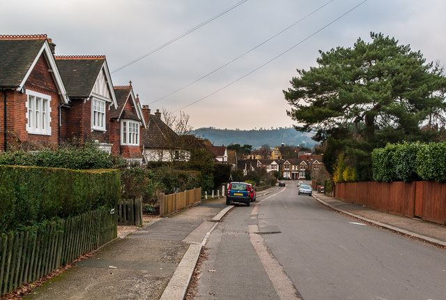
Crakell Road
Edwardian housing in a road linking Chart Lane with Blackborough Road (in the background).
 Map © Crown Copyright")
TIP: Click the map for more Large scale mapping
- Grid Square
- TQ2649, 188 images (more nearby 🔍)
- Photographer
- Ian Capper (more nearby)
- Date Taken
- Saturday, 29 January, 2011 (more nearby)
- Submitted
- Friday, 10 February, 2017
- Subject Location
-
OSGB36:
 TQ 262 498 [100m precision]
WGS84: 51:14.0415N 0:11.5966W - Camera Location
-
OSGB36: TQ 262 498
- View Direction
- North-northwest (about 337 degrees)