2017
NU2519 : Craster Tourist Information Centre
taken 7 years ago, near to Craster, Northumberland, England
This is 1 of 51 images, with title starting with Craster in this square
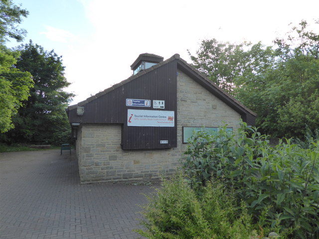
Craster Tourist Information Centre
Craster is a small fishing village on the Northumbrian coast. It has a small and attractive harbour and offers a view northwards to the ruins of Dunstanburgh Castle.
For many years, the village has had a herring-curing business: Craster kippers are well known. The local herrings are smoked in a traditional manner by the Robson family.
The remains of a tower on the end of the harbour are all that can be seen now of the much taller building which was part of the overhead equipment which used to convey the local stone from where it was quarried to boats in the harbour. The disused quarry is now a car park. A small distance inland lies Craster Tower, the home of the Craster family who owned the quarry and had the harbour improved for its benefit. A memorial on the harbour wall commemorates a member of the Craster family who died serving with the British Army in Tibet in the 19th century, the development of the harbour was as a memorial to their son.
It is within the Northumberland Coast Area of Outstanding Natural Beauty.
See other images of Craster
 Map © Crown Copyright")
TIP: Click the map for more Large scale mapping
- Grid Square
- NU2519, 436 images (more nearby 🔍)
- Photographer
- PAUL FARMER (more nearby)
- Date Taken
- Tuesday, 13 June, 2017 (more nearby)
- Submitted
- Saturday, 17 June, 2017
- Subject Location
-
OSGB36:
 NU 2560 1984 [10m precision]
WGS84: 55:28.3034N 1:35.7962W - Camera Location
-
OSGB36: NU 2563 1986
- View Direction
- West-southwest (about 247 degrees)