2020
TL3862 : Thruffle Way, Bar Hill, from Pettitts Lane, Dry Drayton
taken 4 years ago, near to Bar Hill, Cambridgeshire, England
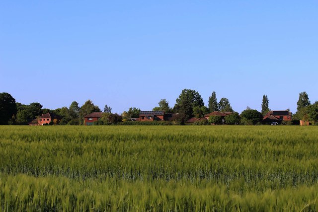
Thruffle Way, Bar Hill, from Pettitts Lane, Dry Drayton
When Bar Hill was planned the intention was that all housing should lie within a perimeter road. The developers had other ideas & as is so often the case the developers got their way & were allowed to build some housing outside it on Craft's Hill. This is the rear of Thruffle Way seen from the footpath at the end of Pettitt's Lane.
Bar Hill village
Bar Hill is a purpose-built village, with a population currently about 5000, built between c1965 & 1990. Most of the housing lies within a perimeter road called Saxon Way on the west, & Crafts Way on the east.
Bar Hill was built upon land that formerly fell within the parish of Dry Drayton; much of the land made up Bar House Farm owned by Chivers & Sons, the jams & preserves manufacturer, who at one time were major farm owners in the area.
 Map © Crown Copyright")
TIP: Click the map for more Large scale mapping
- Grid Square
- TL3862, 74 images (more nearby 🔍)
- Photographer
- Martin Tester (more nearby)
- Date Taken
- Thursday, 14 May, 2020 (more nearby)
- Submitted
- Wednesday, 3 June, 2020
- Subject Location
-
OSGB36:
 TL 384 629 [100m precision]
WGS84: 52:14.8602N 0:1.6295E - Camera Location
-
OSGB36: TL 382 625
- View Direction
- North-northeast (about 22 degrees)