2020
TQ4463 : LOOP, High Elms
taken 4 years ago, near to Farnborough, Bromley, England
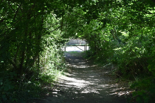
LOOP, High Elms
London Outer Orbital Path (LOOP)
Starting at the Thames at Erith and finishing on the opposite north bank at Coldharbour, the Loop (London Outer Orbital Path) is 150 miles long, passing through numerous woods, commons and parks and on waterside paths alongside the Grand Union Canal and London rivers such as the Colne, Crane, Cray, Darent and Ingrebourne.
High Elms Country Park
A local nature reserve near Farnborough, covering about 250 acres (1.0 km2) of countryside; includes High Elms Golf Course.
 Map © Crown Copyright")
TIP: Click the map for more Large scale mapping
- Grid Square
- TQ4463, 81 images (more nearby 🔍)
- Photographer
- N Chadwick (more nearby)
- Date Taken
- Friday, 7 August, 2020 (more nearby)
- Submitted
- Monday, 3 May, 2021
- Subject Location
-
OSGB36:
 TQ 4429 6301 [10m precision]
WGS84: 51:20.8716N 0:4.2291E - Camera Location
-
OSGB36: TQ 4429 6301
- View Direction
- East-southeast (about 112 degrees)