2021
TQ6536 : Furnace Mill Leat
taken 3 years ago, near to Lamberhurst, Kent, England
This is 1 of 2 images, with title Furnace Mill Leat in this square
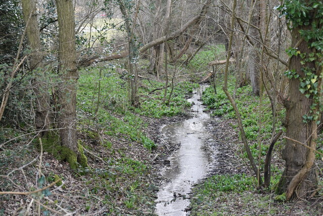
Furnace Mill Leat
The iron industry thrived in the Weald of Kent, Sussex & Surrey from Pre-Roman times until the Industrial revolution. The industry was based on Iron ore from the Cretaceous rocks of the area and charcoal from the woodlands. The remains of the industry can still be seen in the many Hammer ponds in the area and woodland names such as Furnace, Minepit etc. The use of coal not charcoal saw the demise of the industry.
Wikipedia: Link
See other images of Wealden Iron Industry
Wikipedia: Link
See other images of Wealden Iron Industry
 Map © Crown Copyright")
TIP: Click the map for more Large scale mapping
- Grid Square
- TQ6536, 100 images (more nearby 🔍)
- Photographer
- N Chadwick (more nearby)
- Date Taken
- Saturday, 13 March, 2021 (more nearby)
- Submitted
- Friday, 18 June, 2021
- Subject Location
-
OSGB36:
 TQ 6585 3637 [10m precision]
WGS84: 51:6.1587N 0:22.0490E - Camera Location
-
OSGB36: TQ 6588 3635
- View Direction
- West-northwest (about 292 degrees)