2021
TQ9446 : Approaching Little Chart
taken 3 years ago, near to Little Chart, Kent, England
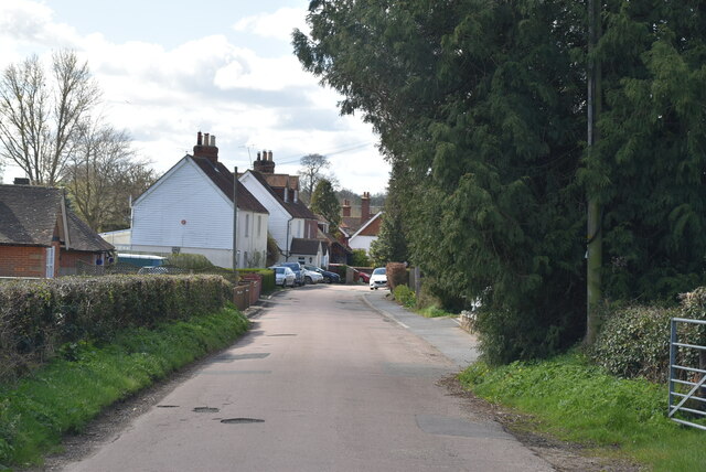
Approaching Little Chart
Little Chart is a small village about 4 miles north west of Ashford.
Wikipedia: Link
See other images of Little Chart
Wikipedia: Link
See other images of Little Chart
 Map © Crown Copyright")
TIP: Click the map for more Large scale mapping
- Grid Square
- TQ9446, 44 images (more nearby 🔍)
- Photographer
- N Chadwick (more nearby)
- Date Taken
- Tuesday, 6 April, 2021 (more nearby)
- Submitted
- Monday, 13 September, 2021
- Subject Location
-
OSGB36:
 TQ 9444 4630 [10m precision]
WGS84: 51:10.9713N 0:46.8432E - Camera Location
-
OSGB36: TQ 9442 4627
- View Direction
- North-northeast (about 22 degrees)