2021
SO1018 : Footpath to Pant-y-rhiw Outdoor Centre
taken 3 years ago, 3 km from Abercynafon, Powys, Wales
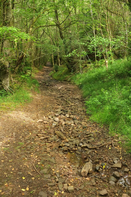
Footpath to Pant-y-rhiw Outdoor Centre
Looking left from SO1018 : Byway above Pant-y-rhiw Outdoor Centre, along the somewhat stony Talybont-on-Usk footpath 43/1.
 Map © Crown Copyright")
TIP: Click the map for more Large scale mapping
- Grid Square
- SO1018, 42 images (more nearby 🔍)
- Photographer
- Derek Harper (more nearby)
- Date Taken
- Thursday, 24 June, 2021 (more nearby)
- Submitted
- Saturday, 25 June, 2022
- Subject Location
-
OSGB36:
 SO 1042 1854 [10m precision]
WGS84: 51:51.4938N 3:18.1295W - Camera Location
-
OSGB36: SO 1045 1854
- View Direction
- WEST (about 270 degrees)