2021
SO7447 : Lower Vinesend Farm
taken 3 years ago, near to Cradley, County of Herefordshire, England
This is 1 of 3 images, with title Lower Vinesend Farm in this square
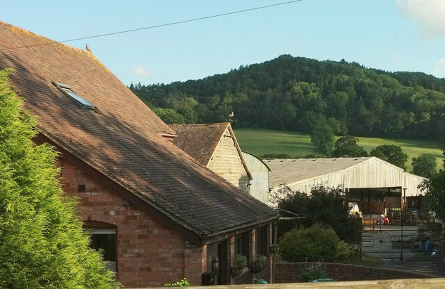
Lower Vinesend Farm
Although the name "Baxhill farm" is also mapped here. Behind rises High Grove Wood. View looking right from SO7447 : Roof, Lower Vinesend Farm, from the Sabrina Way.
 Map © Crown Copyright")
TIP: Click the map for more Large scale mapping
- Grid Square
- SO7447, 79 images (more nearby 🔍)
- Photographer
- Derek Harper (more nearby)
- Date Taken
- Tuesday, 13 July, 2021 (more nearby)
- Submitted
- Thursday, 4 August, 2022
- Subject Location
-
OSGB36:
 SO 7482 4743 [10m precision]
WGS84: 52:7.4761N 2:22.1527W - Camera Location
-
OSGB36: SO 7480 4750
- View Direction
- South-southeast (about 157 degrees)