2005
H4483 : Ballynatubbrit Townland
taken 18 years ago, 4 km WSW of Gortin, Co Tyrone, Northern Ireland
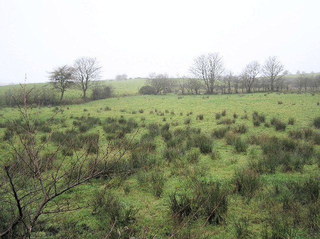
Ballynatubbrit Townland
A rushy field
Loading map... (JavaScript required)
- Grid Square
- H4483, 50 images (more nearby 🔍)
- Photographer
- Kenneth Allen (more nearby)
- Date Taken
- Friday, 9 December, 2005 (more nearby)
- Submitted
- Saturday, 10 December, 2005
- Subject Location
-
Irish:
 H 444 833 [100m precision]
WGS84: 54:41.7641N 7:18.6638W - Camera Location
-
Irish: H 445 833
- View Direction
- Southwest (about 225 degrees)