2008
NN6139 : Burn of Erdamucky
taken 16 years ago, 3 km from Kiltyrie, Perth And Kinross, Scotland
This is 1 of 2 images, with title Burn of Erdamucky in this square
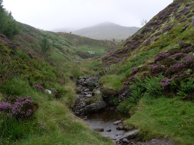
Burn of Erdamucky
As it cuts through the hills near Ben Lawers.
 Map © Crown Copyright")
TIP: Click the map for more Large scale mapping
- Grid Square
- NN6139, 34 images (more nearby 🔍)
- Photographer
- Stephen Sweeney (more nearby)
- Date Taken
- Sunday, 24 August, 2008 (more nearby)
- Submitted
- Monday, 25 August, 2008
- Subject Location
-
OSGB36:
 NN 615 392 [100m precision]
WGS84: 56:31.4998N 4:15.1845W - Camera Location
-
OSGB36: NN 614 392
- View Direction
- East-northeast (about 67 degrees)